Observe os mapas.
Mercator

Peters

A respeito destas projeções cartográficas é correto afirmar que
Questões relacionadas
- Química | A. Equilíbrio Químico
Considere os seguintes compostos:
I. álcoois
II. aldeídos
III. carbono particulado (negro de fumo)
IV. cetonas
Dos componentes acima, é (são) produto(s) da combustão incompleta do n-octano com ar atmosférico apenas
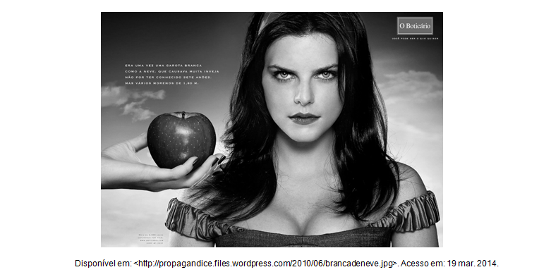
- Língua Portuguesa - Fundamental | Não Possui Tópico Definido
.
Analisando o texto acima, responda às seguintes perguntas, indicando que elementos textuais o levaram às conclusões reveladas.
- A) A que gênero textual ele pertence?
- B) Qual é o emissor desse texto?
- C) Qual é a intenção comunicativa desse emissor?
- D) Qual é o destinatário previsto
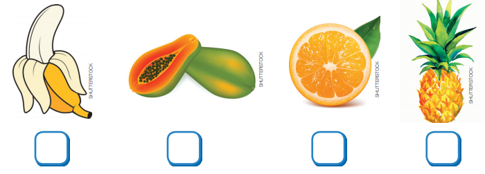
- Língua Portuguesa - Fundamental | Não Possui Tópico Definido
COM QUAL LETRA COMEÇA? ESCREVA NO QUADRADINHO.
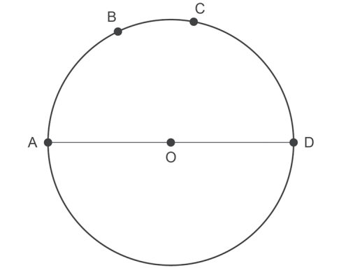
- Matemática - Fundamental | 10. Circunferência
Na figura abaixo, (
) é o diâmetro da circunferência.
O arco
mede 100°45’ e o arco
mede 115°50’. Qual é a medida do arco menor
?
- Matemática | 3.2 Afim ou 1° Grau
Considere duas caixas-d’água com capacidade de 500 litros cada uma. Suponha que às 6 horas a caixa 1 esteja com metade de sua capacidade e a caixa 2 esteja cheia de água e que, a partir dessa hora, as caixas-d’água recebam e forneçam água segundo as taxas abaixo:
• Caixa 1: recebe 30 litros de água por minuto e fornece 20 litros de água por minuto.
• Caixa 2: recebe 20 litros de água por minuto e fornece 30 litros de água por minuto.
Após quanto tempo a caixa 1 transbordará?